Comprehensive Guide to Weather Radar and Its Critical Role in Modern Meteorology
Discover the vital role of weather radar in modern meteorology, from its historical development to advanced radar types and cutting-edge technology. Learn how radar data enhances weather forecasting accuracy, storm tracking, and disaster preparedness across the globe. This comprehensive guide details the principles, applications, and future trends in weather radar technology, emphasizing its significance in protecting lives and property from severe weather events.
Comprehensive Guide to Weather Radar and Its Critical Role in Modern Meteorology
Weather radar, often referred to as Doppler radar or weather surveillance radar (WSR), stands as an indispensable tool in the field of meteorology, providing vital data that aids in accurate weather prediction and severe weather tracking. The technology behind weather radars has evolved over the decades and continues to serve as a cornerstone for meteorologists, climatologists, and emergency response teams worldwide. Their ability to detect, analyze, and predict precipitation patterns makes them essential for safeguarding lives and property.
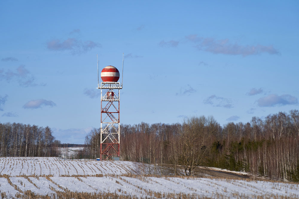
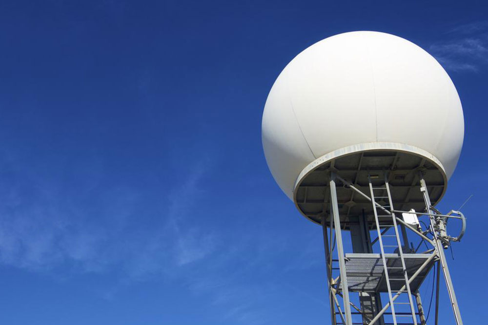
At its core, weather radar is designed to detect atmospheric phenomena such as rain, snow, hail, and even severe storms like hurricanes and tornadoes. These systems use radio waves, specifically microwave signals, to scrutinize the atmosphere. By sending out electromagnetic pulses through parabolic antennas, the radar captures the echoes reflected by precipitation particles. The resulting data provides a three-dimensional view of weather phenomena, enabling meteorologists to understand storm structures, intensity, and movement with remarkable precision.
The fundamental principle of weather radar relies on the Doppler effect, which measures changes in the frequency of the returned signals to determine the velocity of precipitation particles. This allows forecasters not only to detect where precipitation is occurring but also to analyze its motion toward or away from the radar station. Such velocity data is crucial in identifying patterns like rotational motion indicative of tornado formation or the storm’s intensity. This capability has significantly enhanced early warning systems, saving countless lives by providing accurate and timely alerts.
Historically, the development of weather radar technology dates back to World War II. At that time, radar operators noticed weather echoes interfering with military operations, prompting scientists to explore the possibility of weather observation. This initial discovery laid the groundwork for the sophisticated systems we have today. In subsequent years, advances in radar technology, signal processing, and computational power paved the way for pulse-Doppler radars, which could differentiate between rain, snow, and hail, as well as track storm rotations and structures in real-time.
Modern weather radars are classified based on the frequency bands they operate in, primarily S-band, C-band, and Ka-band. Each type offers distinct advantages tailored for specific applications. S-band radars, operating at longer wavelengths (~10 cm), are highly effective for detecting rainfall over long distances, particularly useful in monitoring hurricanes and large-scale weather systems. C-band radars, which operate at intermediate wavelengths (~5-6 cm), strike a balance between resolution and range, making them suitable for widespread weather surveillance and severe storm tracking. Ka-band radars, with shorter wavelengths (~1-2 cm), provide high-resolution data ideal for detailed precipitation analysis but are limited in range and more susceptible to attenuation caused by heavy precipitation.
Weather radars typically have a maximum range of about 200 kilometers (125 miles), although this can vary depending on the radar type and atmospheric conditions. The radar’s scan cycle involves rotating the antenna to sweep out the surrounding atmosphere, creating a comprehensive picture of nearby weather activity. Doppler radars can perform multiple scans per volume, enabling continuous monitoring and rapid updates essential during severe weather events.
In addition to traditional radar systems, modern meteorological networks incorporate dual-polarization radar technology. By transmitting signals in both horizontal and vertical orientations, dual-pol radars improve the identification of precipitation types and distinguish between rain, snow, hail, and non-meteorological objects like bird flocks or debris. This technological leap enhances the accuracy of weather forecasts and severe storm warnings.
Numerous agencies and organizations globally rely on weather radars. National meteorological departments, such as the National Weather Service (NWS) in the United States, deploy extensive radar networks to monitor atmospheric conditions across their regions. Research institutions utilize radar data to better understand climate patterns and improve predictive models. Meanwhile, news media incorporate radar images into their weather broadcasts, providing the public with real-time updates and safety information during storms.
Furthermore, integrated weather systems now combine radar data with satellite imagery, ground stations, and computer models to create comprehensive weather analysis platforms. These complex systems allow meteorologists to forecast weather with higher accuracy, especially for rapidly developing scenarios like thunderstorms or hurricanes. As technology advances, future weather radar systems aim to become more precise, with enhanced resolution, wider coverage, and improved resilience against environmental factors.
In conclusion, weather radar remains a vital component of modern meteorology. Its ability to detect and analyze weather phenomena in real time has revolutionized forecasting, storm tracking, and disaster preparedness. Advancements in radar technology continue to push the boundaries of what meteorologists can predict, ultimately making weather forecasts more reliable and enabling communities worldwide to better prepare for severe weather events.