Comprehensive Guide to Various Types of Reference Maps and Their Applications
This comprehensive article explores various types of reference maps, detailing their features and practical applications. Covering political, physical, topographic, and other maps, it highlights their importance in navigation, education, geology, and logistics. Learn how technological advancements have made access to these maps easier and more efficient, emphasizing their role in understanding Earth's diverse geography. Perfect for students, professionals, and travelers, this guide enhances your geographic knowledge and helps you make better use of maps in everyday life.
An In-Depth Exploration of Reference Map Categories and Their Practical Uses
Maps have been fundamental tools for navigation, education, and understanding the Earth's diverse features for thousands of years. Their evolution from simple sketches to sophisticated digital tools highlights their enduring importance. Different types of maps serve specialized purposes, providing essential information for travelers, educators, scientists, and policymakers. This comprehensive guide thoroughly examines the main categories of reference maps, describing their unique features and practical applications to help users better understand their significance and usage.
Understanding what general reference maps are
Reference maps are designed to provide accurate and clear representations of geographic locations, helping users orient themselves in space. These maps primarily focus on displaying natural and man-made features, making them indispensable for education, urban planning, logistics, and navigation. They serve as reliable tools to locate various geographic elements like cities, natural landmarks, and infrastructural networks, facilitating better comprehension of the world’s spatial organization.
Major Types of Reference Maps Include:
Political Maps: These maps delineate borders of countries, states, and provinces, also highlighting significant water bodies such as seas, lakes, and rivers. They are widely used in educational settings and online platforms to illustrate geopolitical divisions, international boundaries, and regional sovereignties. Political maps are essential tools for understanding how various regions are governed and how they interact on the global stage. They often include labels for capitals, major cities, and important political landmarks.
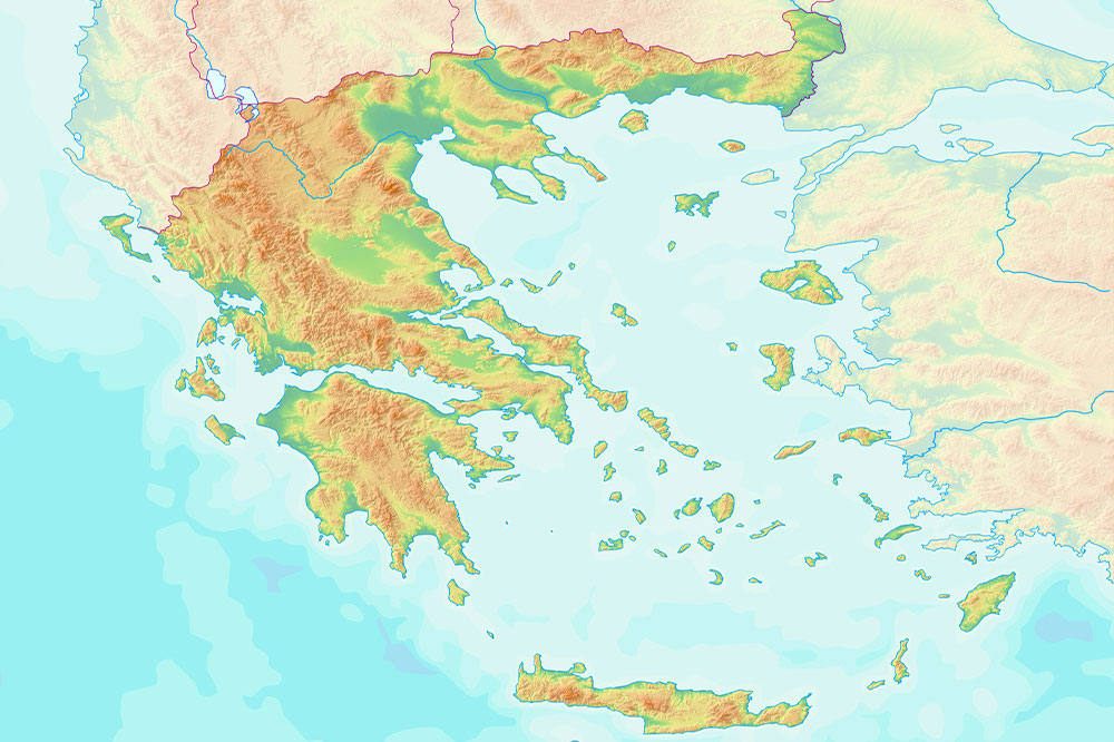
Physical Maps: Focusing on Earth's physical features, these maps employ a vibrant color palette to depict terrains—blue for water bodies, green for lowlands and plains, brown for hills and mountains, and white for snow-capped peaks and glaciers. Physical maps help in understanding the Earth's topography, elevation, and landform distribution, making them invaluable for geologists, environmental scientists, educators, and travelers seeking to grasp the planet's landscape.
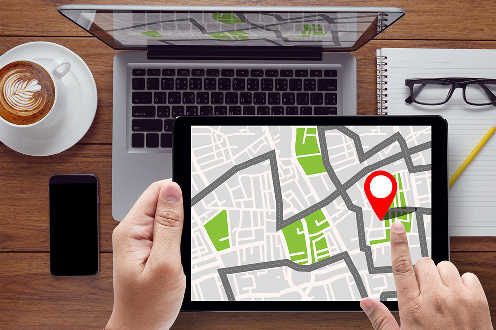
Road and Street Maps: These detailed maps emphasize transportation networks, highlighting roads, streets, highways, and pathways. They are crucial for navigation in unfamiliar areas, especially with digital versions like Google Maps. Road maps assist motorists, cyclists, and pedestrians in reaching their destinations efficiently, locating amenities such as petrol stations, restaurants, and landmarks, and planning routes for everyday travel or detailed logistics.
Topographic Maps: Similar to physical maps but with added precision, topographic maps utilize contour lines, shading, and symbols to represent elevation changes and landform details more accurately. They are popular among hikers, mountaineers, military personnel, and land surveyors because they provide detailed information about terrain features, slopes, and elevations essential for planning safe routes and conducting land assessments.
Time Zone Maps: Displaying the world's time zones using distinct colors and boundary lines, these maps are vital for international communication, aviation, and business. They show how local times vary across different regions, helping travelers and companies coordinate activities seamlessly across borders. Time zone maps are critical tools for global scheduling and understanding the impact of geographic location on timekeeping.
Geologic Maps: These specialized maps illustrate the distribution of different rock types, geological formations, and sediments beneath the Earth's surface through varied color coding and symbols. Geologic maps support resource exploration, environmental conservation, and construction projects by revealing subsurface conditions. They are essential for geologists, engineers, and scientists studying Earth's history and mineral deposits.
Zip Code Maps: Outlining postal zones and delivery routes, zip code maps facilitate mail distribution, market analysis, and regional planning. Businesses leverage these maps to target specific demographics, optimize logistics, and expand market reach by understanding regional population densities and socioeconomic conditions.
Today, technological advancements have made access to various types of reference maps more convenient than ever. Online platforms, GPS devices, and digital atlases provide instant updates and detailed views of geographic data. Reference maps form the backbone of navigation systems, geographic information systems (GIS), and spatial analysis, ensuring users can explore, analyze, and utilize geographic information with ease and accuracy. Whether for education, urban development, or scientific research, reference maps remain indispensable tools for understanding the physical and political layout of our world.