Comprehensive Overview of GPS Technology and Its Diverse Applications
GPS technology has transformed numerous industries with its precise positioning capabilities. From agriculture and traffic management to earthquake monitoring and disaster response, GPS plays a crucial role worldwide. This article explores the vast applications of GPS, highlighting its importance in improving efficiency, safety, and scientific research across various sectors for a smarter, safer future.

Comprehensive Overview of GPS Technology and Its Diverse Applications
Since its inception in the 1980s, Global Positioning System (GPS) technology was primarily developed to meet the demanding needs of military operations and national security agencies. Its initial purpose was to provide precise navigation and positioning capabilities for defense purposes. Over the decades, as satellite technology, receiver hardware, and processing algorithms advanced significantly, the potential for civilian applications became increasingly apparent. Today, GPS has evolved into a fundamental tool that touches various facets of daily life, industries, and scientific research worldwide, demonstrating its remarkable versatility and importance.
In this comprehensive overview, we will explore the numerous ways GPS technology is integrated into various sectors, highlighting key applications that enhance efficiency, safety, and innovation across different fields.
Agriculture: Precision agriculture is revolutionizing farming practices by leveraging GPS technology for site-specific crop management. Farmers use GPS-guided equipment to perform accurate planting, fertilizing, and pesticide application, minimizing waste and environmental impact. Yield monitoring systems utilize GPS data to accurately measure harvest outputs, enabling data-driven decisions for crop rotation and resource allocation. Furthermore, detailed field mapping assists in establishing optimal planting zones, enhancing overall productivity and sustainability.
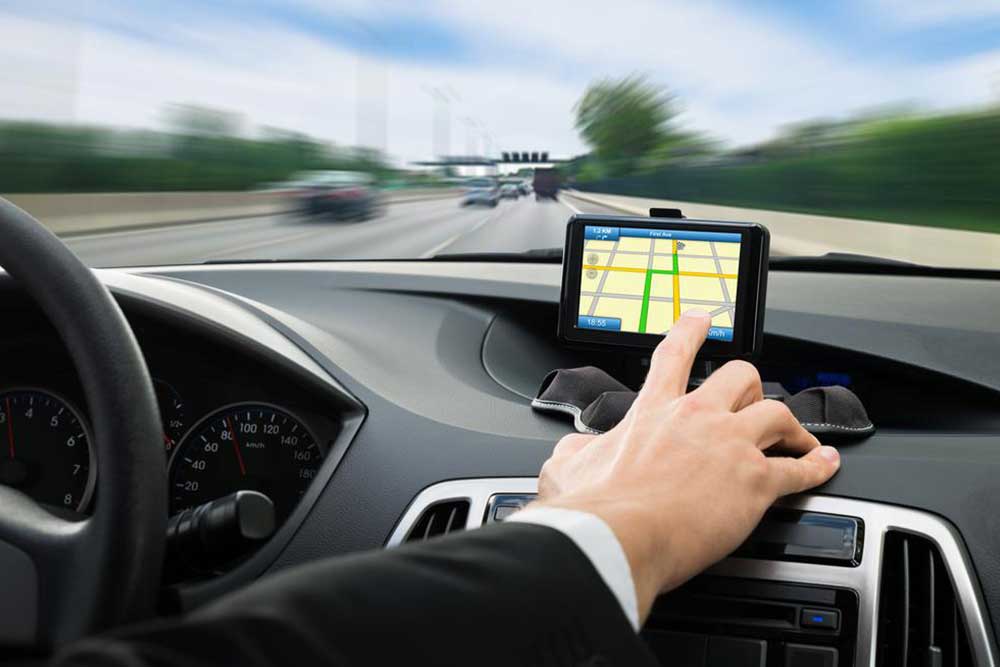
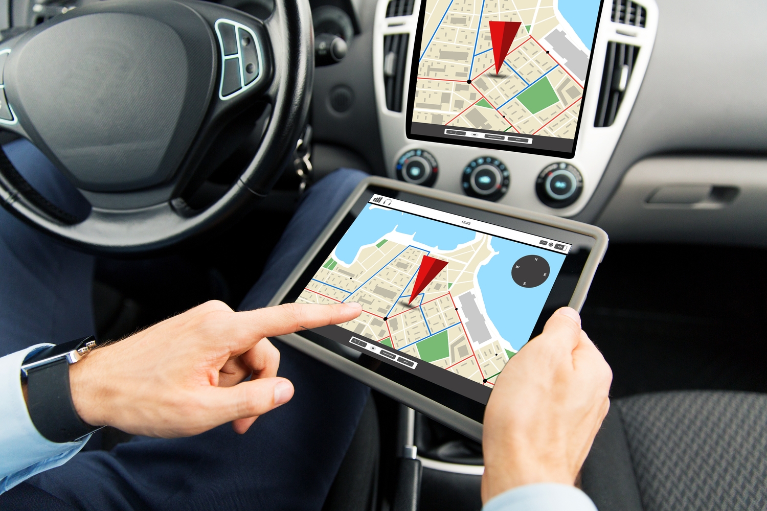
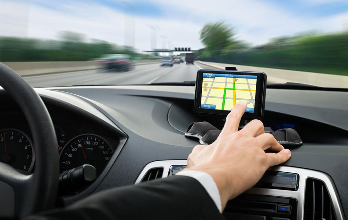
Telecommunications: GPS plays a vital role in modern telecommunications, especially in the context of telematics systems integrated into vehicles. Modern cars are equipped with GPS navigation systems that provide real-time directions, traffic updates, and route optimization, improving driver safety and reducing travel time. Mobile networks also rely on GPS for accurate location tracking, facilitating location-based services such as emergency calls, geotargeted advertising, and asset management.
Seismology and Earthquake Monitoring: Geospatial scientists and seismologists utilize GPS to monitor the subtle movements of Earth's crust. By tracking fault line shifts and land deformation, GPS helps in understanding seismic activity and predicting potential earthquake zones. The data collected allows researchers to establish seismic risk maps, contributing to disaster preparedness strategies and hazard mitigation efforts, ultimately saving lives and reducing economic losses.
Land Measurement and Surveying: Accurate land surveys are essential for urban planning, property delineation, and exploration projects. GPS technology enables surveyors to measure boundaries with higher precision than traditional methods. This capability supports legal land claims, infrastructure development, and environmental conservation by ensuring territorial accuracy and reducing disputes.
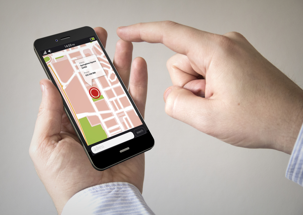
Image and Video Geotagging: Embedding geographic location data into photographs and videos has become increasingly popular with smartphones and camera devices. Geotagging allows users to trace the exact location where media was captured, which is useful for personal memories, journalistic integrity, and professional documentation. It also enables organizing media based on geographic regions, facilitating better management and retrieval of visual content.
Geofencing and Area Restrictions: GPS-based geofencing technology sets virtual boundaries for specific locations. This application is widely used in security systems, parental control, pet tracking, and enterprise asset management. When a device crosses predefined boundaries, alerts are triggered, providing real-time monitoring and security. This technology is instrumental in reducing theft, managing fleet operations, and ensuring personal safety.
Logistics and Fleet Management: In the transportation industry, GPS tracking systems optimize routing and monitor vehicle fleets in real-Time. Fleet managers receive live data on vehicle location, speed, and delivery status, boosting operational efficiency. Route adjustments based on traffic conditions reduce fuel consumption, cut delivery times, and improve customer satisfaction. GPS is also crucial for compliance with transportation regulations and asset tracking.
Environmental Monitoring and Weather Science: GPS technology supports environmental research through techniques like radio occultation, which measures atmospheric properties. This data contributes to weather prediction models, storm tracking, and climate studies. GPS also plays a role in natural disaster prediction, such as monitoring glacier movements and landslides, aiding in early warnings and disaster preparedness initiatives.
Emergency Response and Public Safety: Precise positioning via GPS enhances emergency response efficiency. When disaster strikes, rescue teams rely on GPS to navigate accurately even in challenging terrains or adverse weather conditions. GPS ensures rapid deployment of aid, coordinates rescue operations, and supports search-and-rescue missions, thereby saving lives. The reliability of GPS signals, unaffected by most environmental factors, makes it indispensable for crisis management.
While GPS technology offers extensive benefits for civilians, some limitations still exist. Civilian GPS devices often have restrictions on altitude and speed for safety reasons, especially in sensitive scenarios. Although the signals and systems are similar to military-grade GPS, equipment differences can influence reception capabilities. Nonetheless, continuous advancements promise to expand the scope and accuracy of GPS applications further.